Quick Answer: How Far Is Kashmir from Kanyakumari?
The road from Srinagar to Kanyakumari is about 3,650 km by the usual navigation routes, and it runs almost entirely on NH44, India's longest national highway. Allow 7 to 10 days of sensible driving (8 is comfortable). By rail, the Himsagar Express covers roughly 3,800 km between Katra and Kanyakumari in about 69 hours, and since June 2025 a Vande Bharat links Katra with Srinagar. The quickest way is to fly Srinagar to Trivandrum with one stop and drive the last 90 km.
People search "Kashmir to Kanyakumari" the way others search "Land's End to John o' Groats": it is the long way down the whole country, top to bottom, and the finish line is the three-sea tip where the road simply runs out. We cook in Nagercoil, 20 km before that finish line, on the last stretch of the road every K2K traveller drives. This guide pulls the numbers together in one place, says where sources disagree, and tells you what the last day looks like.
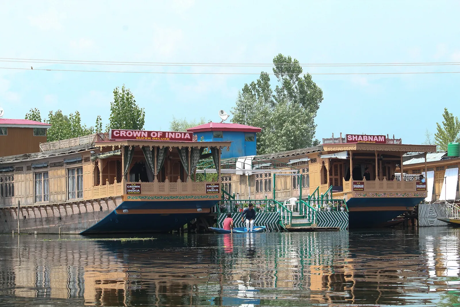
Kashmir to Kanyakumari Distance by Road: What the Numbers Say
You will see three different figures online, and they do not all measure the same thing:
- About 3,650 km: the driving distance that route planners give for Srinagar to Kanyakumari. This is the number to plan fuel and days around.
- 3,745 km: the figure repeated in many "longest highway in India" explainers. It is the length of the old combined highways and is still the most quoted number, but it is not a trip distance.
- About 4,112 km: the length given in some government highway listings for NH44 as a whole, including spurs and bypass alignments. Treat it as the paper length of the numbered highway, not the distance you drive.
For a trip, the practical answer to "kashmir to kanyakumari km" is roughly 3,600 to 3,700 km, depending on whether you pass through Delhi city, take a bypass, or detour for a night in Hyderabad. For other cities on the way, our Kanyakumari distance from major cities table has distances from Delhi, Bengaluru, Madurai and more.
NH44: The Longest Highway in India
NH44 starts at Srinagar in Jammu and Kashmir and ends at Kanyakumari in Tamil Nadu. It is officially the longest national highway in India, and it passes through Jammu and Kashmir, Punjab, Haryana, Delhi, Uttar Pradesh, Rajasthan, Madhya Pradesh, Maharashtra, Telangana, Andhra Pradesh, Karnataka and Tamil Nadu.
It is not one road that was always there. NH44 was assembled from several older highways, among them the Jammu to Srinagar road (the old NH 1A), the Punjab and Haryana stretch of the old NH 1, and the long southern run of the old NH 7 from Lakhnadon in Madhya Pradesh down to Kanyakumari. Older drivers still say "Seven" for the Nagpur to Bengaluru to Madurai road, and a few signs and milestones in the south may still carry the old number.
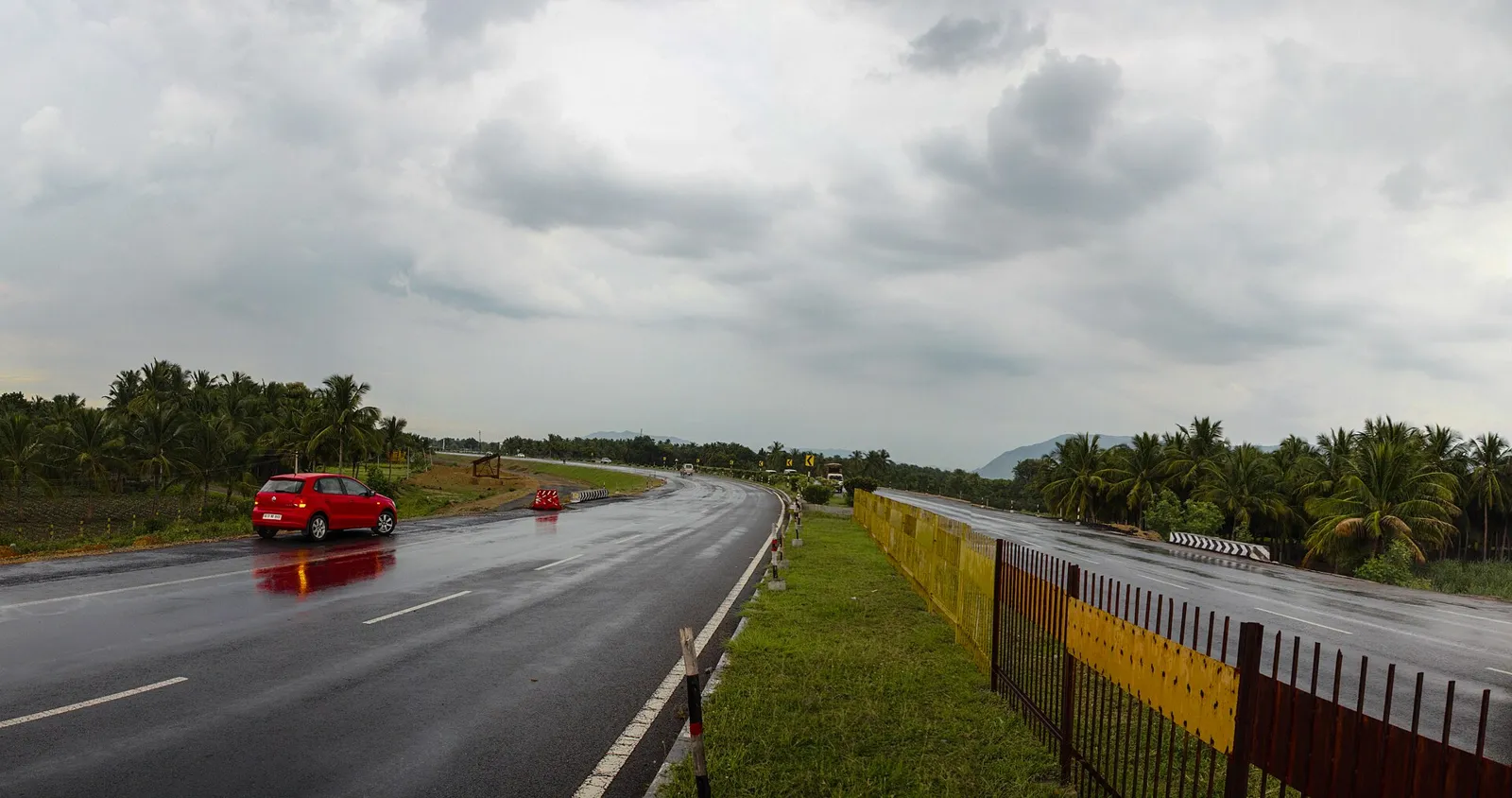
Kashmir to Kanyakumari by Road: The Route, City by City
North to south, the cities you will drive through or alongside are:
Srinagar, Banihal, Ramban, Udhampur, Jammu, Pathankot, Jalandhar, Ludhiana, Ambala, Panipat, Delhi, Agra, Gwalior, Jhansi, Sagar, Nagpur, Hyderabad, Kurnool, Anantapur, Bengaluru, Krishnagiri, Salem, Namakkal, Karur, Dindigul, Madurai, Tirunelveli, Nagercoil and Kanyakumari.
Two caveats. First, many drivers leave NH44 for expressways and bypasses around Delhi, Agra and Hyderabad, so the exact line you drive depends on the day. Second, the stretch between Jhansi and Nagpur (through Sagar, Lakhnadon and Seoni in Madhya Pradesh) has had new four-lane sections opening over the years, so keep a live map open there rather than trusting an old guide.
Kashmir to Kanyakumari Road Trip: How Many Days?
Seven to ten days works for a normal family trip. The table below is our own planning split with rounded distances, not an official schedule. Real distances vary by 20 to 40 km with your detours, and times vary far more with weather and traffic.
| Day | Leg | Approx. km | Running total | Notes |
|---|---|---|---|---|
| 1 | Srinagar to Jammu | 270 | 270 | Mountain road and tunnels; start early |
| 2 | Jammu to Delhi | 590 | 860 | Long day; stop at Ambala or Panipat if tired |
| 3 | Delhi to Jhansi (via Agra, Gwalior) | 410 | 1,270 | Add a rest day in Agra if you have one |
| 4 | Jhansi to Nagpur (via Sagar) | 580 | 1,850 | Hilly forest road near Seoni; avoid night driving |
| 5 | Nagpur to Hyderabad | 500 | 2,350 | Mostly four-lane |
| 6 | Hyderabad to Bengaluru (via Kurnool, Anantapur) | 570 | 2,920 | Bengaluru entry traffic is the slow part |
| 7 | Bengaluru to Madurai (via Salem, Dindigul) | 440 | 3,360 | Overnight in Madurai; see the Madurai to Kanyakumari guide |
| 8 | Madurai to Kanyakumari (via Tirunelveli, Nagercoil) | 245 | about 3,600 | Arrive by early afternoon for the sunset |
For 7 days, merge Days 3 and 4 into one very long push of about 1,000 km, which means losing the Agra evening. For 10 days, add a night in Agra, a night in Hyderabad and a half-day in Madurai for the Meenakshi temple. Whatever you pick, fatigue rather than the road is what ends long trips, so cap driving days at roughly 550 km where you can.
Driving Realities: Tunnels, Tolls and Season
- The Banihal pass. The oldest link is the 2.85 km Jawahar Tunnel, opened in December 1956. The newer 8.5 km Banihal Qazigund road tunnel (opened 2021) now takes most traffic. Further south, the 9.28 km Chenani-Nashri tunnel, officially the Dr Syama Prasad Mookerjee Tunnel, opened on 2 April 2017 and cuts about 30 km and two hours from the Jammu to Srinagar journey. It has a 50 km/h limit and fuel tankers are not allowed.
- Landslides. The Ramban stretch is the part of the road most often disrupted in heavy rain. Check the local traffic advisory the evening before, not the morning of.
- FASTag. Toll plazas on national highways are electronic, so carry a funded, correctly linked FASTag before you leave Srinagar.
- Best season. There is no perfect month: the north has snow risk in deep winter and landslides in the monsoon, while the Deccan and the south are punishing in April and May. September to November, and March, are the kindest overall, and Kanyakumari itself is best from October to March (see the seasons guide).
Kashmir to Kanyakumari by Train
There is no single train from the Valley to the tip, but there is now a workable chain: Srinagar to Katra on the new Kashmir rail link, then Katra to Kanyakumari on the Himsagar Express.
Himsagar Express route (16317 / 16318)
The Himsagar Express runs between Shri Mata Vaishno Devi Katra and Kanyakumari: 16317 leaves Kanyakumari for Katra, and 16318 runs the other way. The route is about 3,790 to 3,800 km, second only to the Vivek Express (Dibrugarh to Kanyakumari) among Indian trains. The timetable shows 16317 leaving Kanyakumari at 14:15, calling at Nagercoil Junction at 14:35 and Trivandrum Central at 16:07, and reaching Katra at 11:50 on the fourth day, a total of about 69 hours 35 minutes. It is a weekly train (Friday from Kanyakumari in current timetables), so confirm on IRCTC or the NTES app before you plan around it.
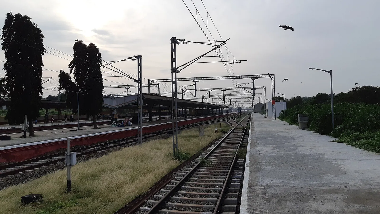
Getting from Srinagar to Katra
The Udhampur-Srinagar-Baramulla rail link, about 272 km long with 36 tunnels and 943 bridges, includes the Chenab bridge, the world's highest railway arch bridge at 359 m above the riverbed. The Prime Minister inaugurated it and flagged off the Katra to Srinagar Vande Bharat on 6 June 2025, with regular services following from 7 June. The ride takes about three hours. There is still no through train from Delhi to Srinagar, so for now you change at Katra and pass a security check there.
So Srinagar to Kanyakumari by rail means Vande Bharat to Katra, probably a night there to avoid a tight connection, then the Himsagar Express south. The Himsagar is weekly, so plan the whole trip around its day. Our Nagercoil Junction guide explains why many travellers get off at Nagercoil and take a cab for the last 20 km.
Srinagar to Kanyakumari by Flight
There is no airport at Kanyakumari. The usual plan is to fly from Srinagar (SXR) to Trivandrum International Airport (TRV), normally with one connection through Delhi, Bengaluru or Mumbai, then take a cab for the last 90 km. Check fares and connections on the airline app, as the options change each season. For the transfer see our Trivandrum Airport to Kanyakumari taxi guide, and for every way in see how to reach Kanyakumari.
| Mode | Route | Distance | Typical time | Good for |
|---|---|---|---|---|
| Road | Srinagar to Kanyakumari on NH44 | about 3,650 km | 7 to 10 days (about 46 hours of pure driving) | Families, the real journey |
| Rail | Vande Bharat to Katra, then Himsagar Express | about 3,800 km from Katra | about 3 hours plus about 69 hours, plus the connection | Slow-travel fans, no driving |
| Air | Srinagar to Trivandrum, then 90 km by road | One connection | Under a day, door to door, if connections suit | Short on time |
On Two Wheels or on Foot: The K2K Challenge
Kashmir to Kanyakumari, "K2K", is a known endurance challenge. Press reports say Om Mahajan of Nashik cycled about 3,600 km in eight days, 7 hours and 38 minutes in 2020, and that Adil Teli of Budgam beat that in March 2021 with a time of just over eight days. Treat the exact times as reported rather than certified. Casual riders take weeks, not days. If you go by bike, avoid the northern monsoon, carry spares for the long Madhya Pradesh stretches and do not sleep on the highway shoulder.
Kanyakumari, the Last Point
Kanyakumari is the southern tip of mainland India, where the Bay of Bengal, the Arabian Sea and the Indian Ocean meet. It is not the southernmost point of the country, which is Indira Point on Great Nicobar Island, but it is where NH44 ends because the land ends. Read what Kanyakumari is famous for and Cape Comorin then and now for context on what you are looking at.
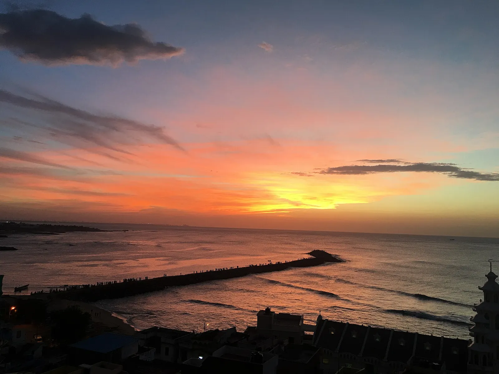
What to do on arrival, in order of usefulness:
- Sunrise: best at Triveni Sangam between 5:45 and 6:15 AM, with the clearest views from October to March. See the sunrise guide for where to stand.
- Vivekananda Rock ferry: runs 8:00 AM to 4:00 PM daily, weather permitting, at ₹100 Normal or ₹300 Special Entry per person (Poompuhar Shipping Corporation, official portal psckfs.tn.gov.in, October 2026), in 30-minute slots. The ferry booking handbook has the process, and the ticket prices page lists the other entry fees.
- Bhagavathy Amman temple, Gandhi Memorial and the Thiruvalluvar statue: all in the same small seafront area as the ferry.
The Last 20 km: Nagercoil and the Vadasery Snack Stop
Whichever way you come, the final stretch passes through Nagercoil, about 20 km before Kanyakumari. Our Nagercoil to Kanyakumari road guide covers the wind farms and paddy fields on this last bit. After a week on the highway, this is a good place to stop, stretch and eat something that did not come from a highway dhaba.
RajaGopal Sweet Stall has been on Asambu Road in Vadasery since 1965, open daily from 9 AM to 9 PM. Two things are worth knowing as a long-distance traveller:
- Fresh pakoda at 4 PM. The onion-cashew pakoda comes out of the kadai at 4:00 PM daily: ₹100 for 250 g, enough for a car of tired people.
- Food for the road home. Vacuum-packed Nendran banana chips fried in cold-pressed groundnut oil keep for 3 to 4 weeks (₹100 for 250 g, ₹200 for 500 g, ₹400 per kg). Pure cow ghee wheat halwa lasts about 15 to 20 days, so it suits a train or flight home better than a ten-day drive. The shelf life guide explains how to pack it. We use no preservatives or artificial colours.
If you fly to Trivandrum or step off the train and would rather not drive the last bit yourself, we also arrange sightseeing cars and pickups through our local driver network (Trivandrum airport, Nagercoil Junction and Kanyakumari station), and every car tour comes with a complimentary welcome box of our snacks. Sedan, SUV and Tempo Traveller options are on the tour packages page; 24 to 48 hours of notice is preferred.
Arriving at the Southern Tip? We Can Meet You
Flying into Trivandrum or stepping off the Himsagar Express at Nagercoil? Tell us your date and we will help with a car, a sightseeing plan and a box of chips for the road home.
- Airport (TRV), Nagercoil Junction and Kanyakumari station pickups
- Sedan, SUV or Tempo Traveller; complimentary snack welcome box
- 24 to 48 hours advance notice preferred
 Fried fresh in Vadasery, Nagercoil
Want chips shipped home instead of carried? Use our buy Nendran banana chips online page or see the Nendran banana chips overview.
Frequently Asked Questions
What is the distance from Kashmir to Kanyakumari?
By road, Srinagar to Kanyakumari is about 3,650 km on route planners, almost all of it on NH44. The highway is officially listed as roughly 4,112 km long, and a figure of 3,745 km is also widely quoted, so use 3,600 to 3,700 km for trip planning.
How many days does it take to drive from Kashmir to Kanyakumari?
Plan 7 to 10 days. A comfortable 8-day split is Srinagar, Jammu, Delhi, Jhansi, Nagpur, Hyderabad, Bengaluru, Madurai, Kanyakumari, with daily legs of 250 to 600 km. Pure driving time is about 46 hours.
Which is the longest highway in India?
NH44 is officially the longest national highway in India. It runs from Srinagar in Jammu and Kashmir to Kanyakumari in Tamil Nadu through twelve states and union territories, and was built from older highways including the old NH 1A and the old NH 7.
Is there a train from Kashmir to Kanyakumari?
There is no single through train, but you can do it with one change. Take the Vande Bharat from Srinagar to Katra (about three hours, running since June 2025), then the Himsagar Express from Katra to Kanyakumari, about 3,800 km and roughly 69 hours.
What is the Himsagar Express route?
The Himsagar Express (16317 and 16318) runs between Kanyakumari and Shri Mata Vaishno Devi Katra through Tamil Nadu, Kerala, Andhra Pradesh, Telangana, Maharashtra, Madhya Pradesh, Rajasthan, Uttar Pradesh, Haryana, Delhi, Punjab and Jammu and Kashmir. Timetable sites show it calling at Nagercoil Junction 20 minutes after leaving Kanyakumari. It is a weekly train, so confirm the day on IRCTC.
Is Kanyakumari the last point of India?
Kanyakumari is the southern tip of mainland India, where the Bay of Bengal, the Arabian Sea and the Indian Ocean meet. The southernmost point of the whole country is Indira Point on Great Nicobar Island.
Is there a flight from Srinagar to Kanyakumari?
Kanyakumari has no airport. Fly from Srinagar to Trivandrum International Airport, usually with one connection, then take a cab for the last 90 km. Nagercoil Junction and Kanyakumari station are the other gateways.
Header photo: Dashrathgoyal85 via Wikimedia Commons, CC BY-SA 4.0. Distances and timings were checked in October 2026; train days and schedules change, so confirm with IRCTC before you travel.
Explore Related Travel Guides
Plan the rest of your journey south: