Most people treat the Nagercoil to Kanyakumari road as the last twenty kilometres before the destination. We grew up on this road — our family has driven it for six decades of festival trips, school excursions, and sunrise runs — and we would argue it is a destination of its own. In twenty kilometres it packs in one of India's largest wind farms, green paddy flats running up against the last blue wall of the Western Ghats, and the first glimpse of the sea. Here is how to drive it like someone who knows what they are passing.
The Road at a Glance
The route is NH-944, the highway that ends at land's end. The distance is roughly 20 kilometres and the drive takes 30 to 40 minutes, most of it on a smooth, flat carriageway. Buses leave Nagercoil's Vadasery bus stand every few minutes; autos and taxis do the run all day; and there is even a short rail hop between Nagercoil Junction and Kanyakumari station. But if you have your own vehicle, take the drive in the early morning or the last hour before sunset — that is when the windmill country turns golden.
Windmill Country: The Muppandal Wind Farm
A few kilometres out of Nagercoil the turbines begin, and then they never really stop. This is the Muppandal wind farm, one of the largest onshore wind farms in India, and the reason is pure geography: the Aralvaimozhi gap in the Western Ghats funnels sea wind through a narrow pass and out across the plain, strong and steady for most of the year. Locals barely notice the turbines any more — they are simply the district's skyline — but first-time visitors invariably pull over for photographs. The best light is early morning, when the blades turn slowly against a pink sky and the Ghats sit blue behind them.
Paddy Fields & the Western Ghats Backdrop
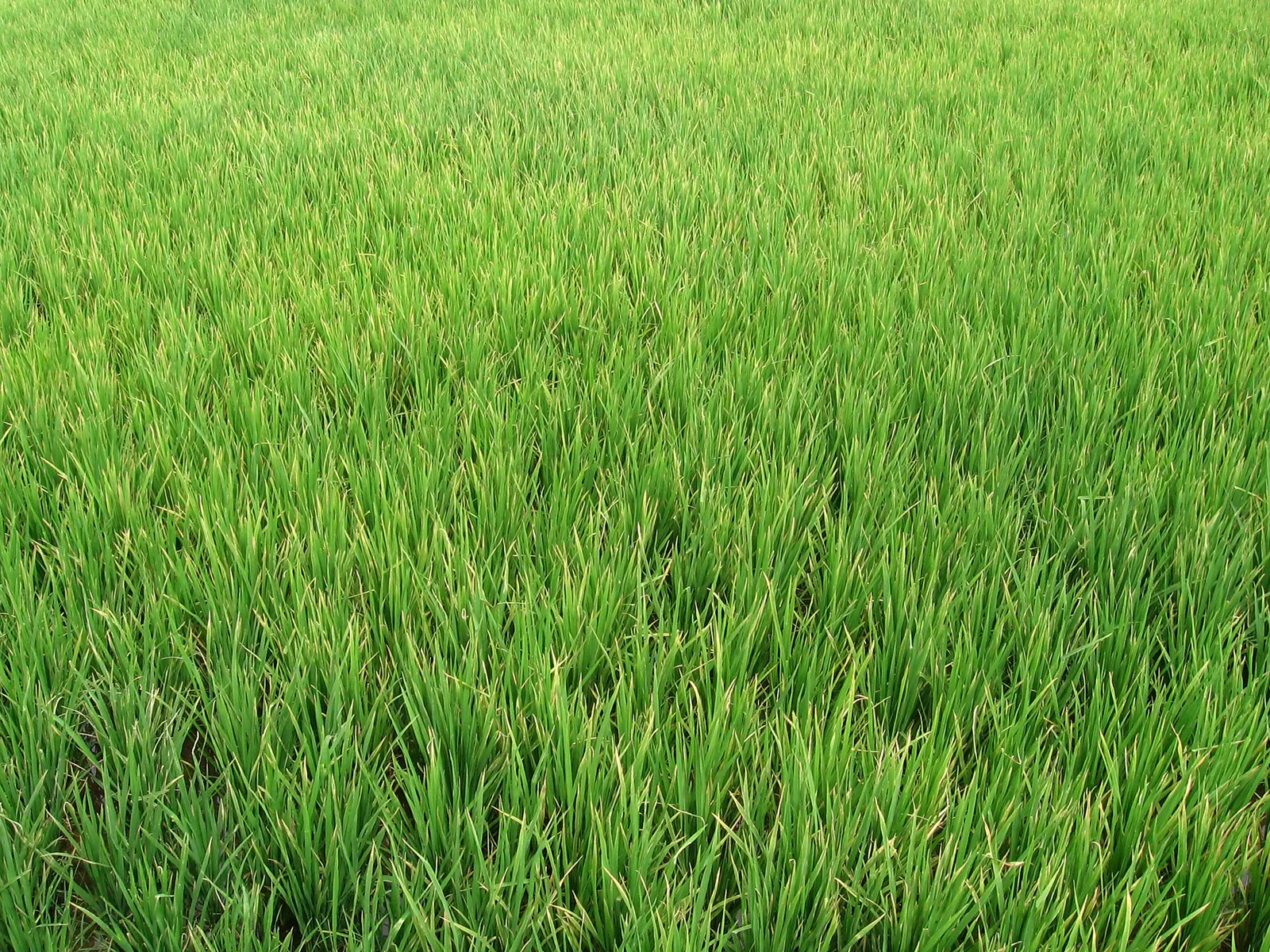
Between the windmill clusters, the road runs through the paddy flats that made Nagercoil an old rice town. In the growing months the fields are an almost unreasonable green, with coconut and banana plantations stitched between them and the Ghats closing the frame to the north — this is their final descent to the sea. Somewhere near the roadside rises Marunthuvazh Malai, the "hill of healing herbs", which local tradition ties to the Ramayana story of Hanuman dropping a piece of the medicine mountain here. It is a short, popular dawn climb with a view over the whole plain.
Stops Worth Making
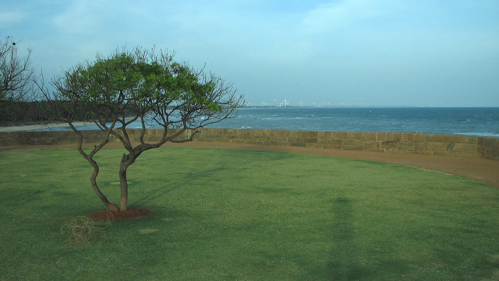
Three detours reward the unhurried. First, Suchindram: barely off the highway, its Thanumalayan temple with musical pillars is the district's most remarkable shrine, worth thirty minutes even for the temple-weary. Second, any of the windmill-field lanes — pull safely off the highway and walk a hundred metres in; the scale of the turbines up close is startling. Third, just before Kanyakumari, the coastal branch towards Vattakottai Fort, an eighteenth-century sea fort whose ramparts give you the windmills, the Ghats, and the sea in a single view.
Where to Start: Fuel Up in Nagercoil
Every good version of this drive starts the same way: in Nagercoil's Vadasery market stretch, where the district has always stocked up before heading anywhere. Pick up water, fruit, and — the local essential — a bag of proper road snacks. Our own family counter, RajaGopal Sweet Stall on Asambu Road, has been provisioning this exact drive since 1965; a packet of fresh Vadasery banana chips on the dashboard is as much a part of the route as the windmills. From there, the full plan for the far end is in our one-day Kanyakumari itinerary, and if you are arriving by rail first, the Nagercoil Junction travel guide covers the station end of things.
Frequently Asked Questions
How far is Kanyakumari from Nagercoil?
About 20 kilometres by road, which takes 30 to 40 minutes on NH-944 depending on town traffic at either end. Buses run every few minutes through the day, autos take the trip on fixed fares, and taxis do it comfortably in half an hour. Trains also connect Nagercoil Junction with Kanyakumari station in around 20 minutes.
Why are there so many windmills near Kanyakumari?
The Aralvaimozhi gap in the Western Ghats acts as a natural wind funnel — sea winds squeeze through the pass and blow strong and steady across the plain for most of the year. That is why the Muppandal wind farm, one of the largest onshore wind farms in India, grew up here, and why turbines line almost every horizon between Nagercoil and Kanyakumari.
Is the Nagercoil–Kanyakumari road good for cycling?
Yes, with two caveats: start early and respect the wind. The stretch is nearly flat and well surfaced, and before 8 AM the traffic is light and the light on the windmills is beautiful. But the same winds that power the turbines make the return leg a genuine workout, so locals cycle out with the wind at dawn and time the ride back before the day heats up.
Hero image: UY Scuti, CC BY-SA 3.0, via Wikimedia Commons.
Snacks for the Road South
Starting from Nagercoil? Our counter on Asambu Road, Vadasery has stocked this drive since 1965 — or order ahead for delivery.
Call Now Order on WhatsApp