Stand at the tip of India today and you are in Kanyakumari. Stand in the same spot with an 18th-century map in hand and you would be at Cape Comorin. Same rocks, same three seas, two names — and the story of how one became the other is really the story of this coast: an ancient goddess, a chain of foreign visitors who could not quite pronounce her name, and a pilgrim town that outlasted them all.
One Cape, Many Names
The oldest name is the goddess's own. Kumari — the virgin goddess — has been worshipped at this shore for well over two thousand years; her shrine at land's end is mentioned in Sangam-era literature and in a Greek merchant's handbook, the Periplus of the Erythraean Sea, from the first century CE. "Kanyakumari" simply honours her in full. "Comorin" is what happened when that name passed through Arab, Portuguese, and finally English mouths: Kumari became Comari, then Comorin, and the British stamped "Cape Comorin" onto charts, gazetteers, and railway timetables. After Independence the town formally reclaimed its Tamil name, though old sailors, old maps, and older textbooks kept Comorin alive for another generation.
The Cape on 18th-Century Maps
On European maps of the 1700s, the Cape was less a destination than a turning point — the corner every ship rounded between the Malabar and Coromandel coasts. William Faden's 1792 map of peninsular India, the one behind this article's title image, marks Cape Comorin as the anchoring foot of the subcontinent, with the Travancore lines drawn just to its west. That detail matters locally: this district was then Travancore territory, ruled from Padmanabhapuram, and its trade, temples, and even its temple architecture looked west across the Ghats as much as north into Tamil country. The cartographers saw a headland; the people living behind it were running a busy corridor of rice, pepper, and pilgrims.
From Colonial Outpost to Pilgrim Town
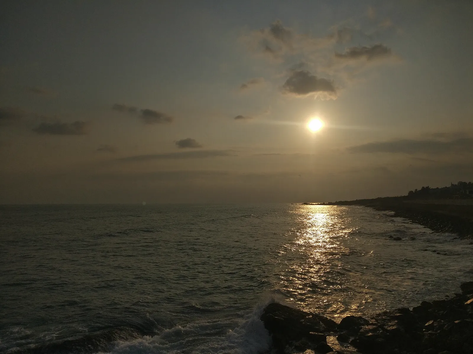
Under Travancore and then British paramountcy, the Cape remained what it had always been — a place people came to on purpose. Pilgrims bathed at the ghat where three seas meet before worshipping Kumari Amman; Gandhi's ashes were immersed here in 1948, and the Gandhi Mandapam was raised so that each year on his birthday the sun's rays fall on the spot where they rested. In 1956, the district shifted from Travancore-Cochin to Madras State after a long popular movement, and Kanyakumari became Tamil Nadu's southern full stop. The railway, the highways, and eventually the tour buses followed — but the town's essential business, receiving travellers at land's end, has not changed since the Periplus.
Landmarks That Changed the Skyline
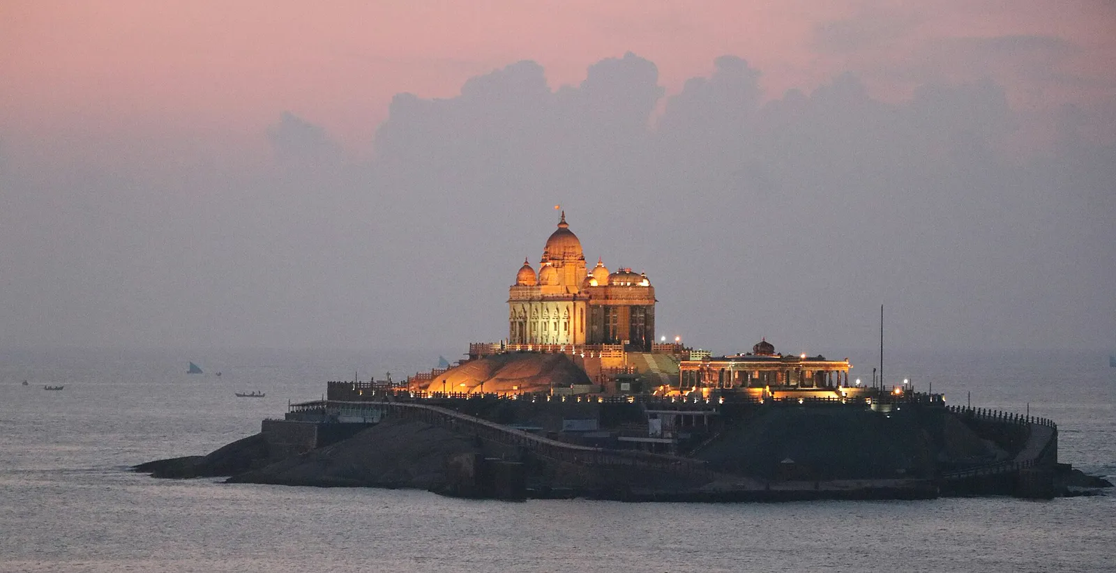
For most of history the Cape's skyline was sea, sky, and one small temple. Two modern additions redrew it. In 1970 the Vivekananda Rock Memorial rose on the offshore rock where the monk meditated in December 1892 — built stone by stone after a remarkable nationwide fundraising effort, and reached today by the short ferry that is half the fun of visiting. Then, on the first day of 2000, the 133-foot Thiruvalluvar Statue was unveiled on the neighbouring rock: the poet of the Thirukkural standing in the sea, one foot of stone for each chapter-figure of his verses. Between them, the two rocks turned the view from the shore into one of India's most recognisable images. How to see both without queue fatigue is covered in our one-day Kanyakumari itinerary.
What Hasn't Changed
Strip away the names and the monuments, and the constants of this coast are stubborn. The goddess still faces the sea. The sun still rises and sets over water from the same beach. Fishermen still read the three currents the way their grandfathers did. And the market towns behind the Cape still do what they did in Travancore days — trade. Nagercoil's Vadasery market has been provisioning this coast's travellers and households through every change of name and flag; our own family counter has watched sixty of those years, frying and stirring through them, a small story told in our story since 1965. Empires renamed the Cape; the evening snack trade outlasted them all.
Frequently Asked Questions
What was Kanyakumari called before?
European maps and colonial records called it Cape Comorin — an anglicised form of Kumari, the virgin goddess whose shrine has stood at the tip for over two thousand years. The Tamil name Kanyakumari, meaning the virgin goddess Kumari, is far older than the colonial one, and the town officially reverted to it after Independence.
When was the Vivekananda Rock Memorial built?
The Vivekananda Rock Memorial was inaugurated in 1970, built on the offshore rock where Swami Vivekananda meditated in December 1892. The neighbouring 133-foot Thiruvalluvar Statue, honouring the Tamil poet of the Thirukkural, was unveiled on the adjacent rock on the first day of 2000.
Is Cape Comorin the southernmost point of India?
It is the southernmost point of mainland India. The true southernmost point of Indian territory is Indira Point on Great Nicobar Island, far out in the Bay of Bengal. But for anyone standing on Indian soil that a road can reach, Kanyakumari is land's end — which is exactly why travellers have always come.
Hero image: 1792 map by William Faden, public domain, via Wikimedia Commons.
Taste What Outlasted the Empires
Snacks and sweets made the old market way in Vadasery — visit us on Asambu Road or order to your city.
Call Now Order on WhatsApp